Tesla Admits Its Self-Driving Cars Need Their Own Maps to Fix Basic Errors
After years of insisting on a vision-only approach, Tesla is developing proprietary mapping tools to address persistent issues with speed limits and routing.
By Eduardo Salazar ·
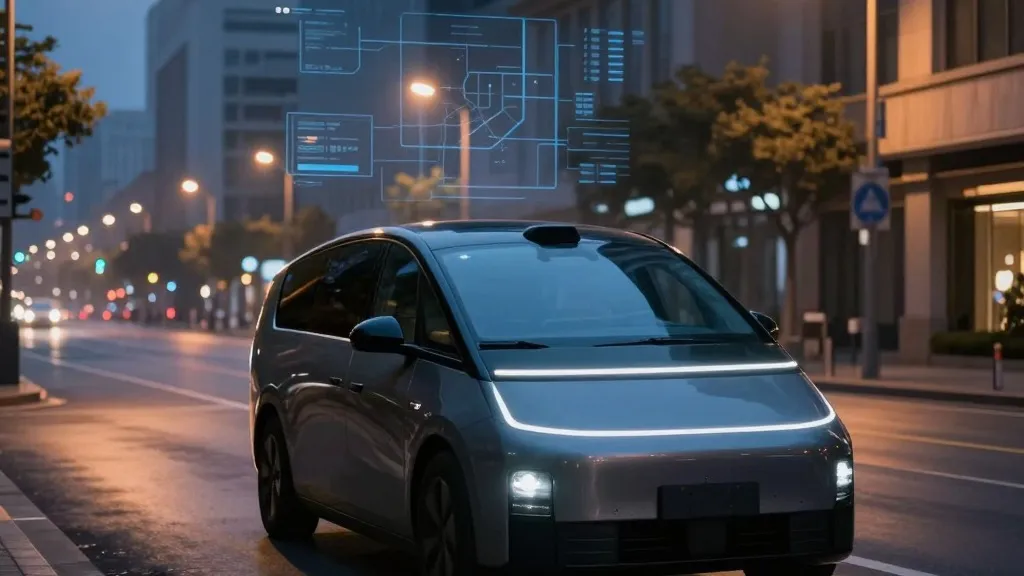
Tesla has officially conceded that its autonomous driving system requires proprietary maps to function reliably, marking a sharp departure from the company’s long-standing public stance. The announcement, made during the Q3 2026 earnings call, signals that the vehicle manufacturer is now employing a strategy similar to its main competitor, Waymo, to resolve fundamental navigation errors.
The shift was confirmed by Ashok Elluswamy, Tesla’s VP of AI, who responded to a shareholder query regarding persistent problems with reading speed limits, parking, and route selection. Elluswamy stated that the company should not rely on external map providers and is instead building a new AI-based mapping architecture. This system will leverage data collected from Tesla’s existing fleet to create a dynamic map that also learns individual driver preferences and responds to voice commands. The technology is slated to debut with FSD v15, initially handling the start and end of trips, before expanding to cover navigation and destination handling in the coming months.
This development contrasts with the narrative Tesla has maintained for nearly a decade. In 2015, the company initially touted high-precision maps with granular detail, but by 2019, CEO Elon Musk had reversed course. During an Autonomy Day presentation, Musk dismissed high-precision lane maps as a "huge mistake" and a "really bad idea," arguing they made self-driving systems "extremely brittle." He famously labeled lidar a "fool’s errand," suggesting that Tesla’s vision-based approach could handle driving in any environment without the need for detailed cartographic data.
Critics argue that the current situation undermines the previous messaging. If the vision system cannot reliably interpret basic road information, such as speed limit signs, the necessity for a map layer suggests that cameras and AI alone were insufficient. This skepticism is fueled by recent independent findings. Last month, a Belgian road safety group reported that FSD vehicles exceeded limits in 55% of 30 km/h zones in Brussels, often because the car’s display incorrectly showed a 50 km/h limit. In the United States, the National Highway Traffic Safety Administration is considering an investigation into claims that Tesla Robotaxis have sped through active school zones, a concern involving approximately 1,000 Model Y and Cybercab vehicles.
The new approach brings Tesla’s operational model closer to that of Waymo. Waymo maps cities by driving sensor-equipped vehicles through them before launching services, continuously updating its data as the fleet operates. Tesla is now describing a similar workflow, where its cars collect environmental data to feed a central map that improves the driving experience for the entire fleet. The primary technical difference remains that Waymo’s vehicles are equipped with lidar, whereas Tesla relies on cameras. This alignment is particularly notable given that Tesla’s Robotaxi service already operates within specific geofenced areas, a method Musk previously implied was a crutch of other systems.
Proponents of the change note that using maps is standard practice in the industry and that a map built from millions of Tesla vehicles could provide a significant competitive advantage. However, the timing of this admission has raised questions among investors and enthusiasts. One prominent shareholder comment suggested that this development is another reason unsupervised FSD may not reach consumer cars in Q2 2027, with the company potentially focusing on cash flow rather than immediate technological breakthroughs.
The core issue remains the gap between marketing and execution. Musk sold FSD as a general solution that would work anywhere through vision alone, dismissing the need for maps and lidar as limitations of other companies. Now, Tesla is adding the map layer it once criticized while operating within geofences. As the company moves forward, the question looms: if both major players are using fleet-collected data to create maps, the only significant differentiator may be the presence of lidar.
Looking ahead, Tesla plans to integrate this new mapping layer into its upcoming software releases. The initial phase will focus on the beginning and end of trips, with full navigation and parking capabilities expected to follow. For now, the company’s strategy appears to have settled on a hybrid model that combines its end-to-end vision system with the contextual awareness provided by its own proprietary maps.
Source: Electrek